Assess
Review your roads and identify priority areas with your district.
How We Work
Plan with your district. Apply when conditions are right. Leave documentation you can keep.
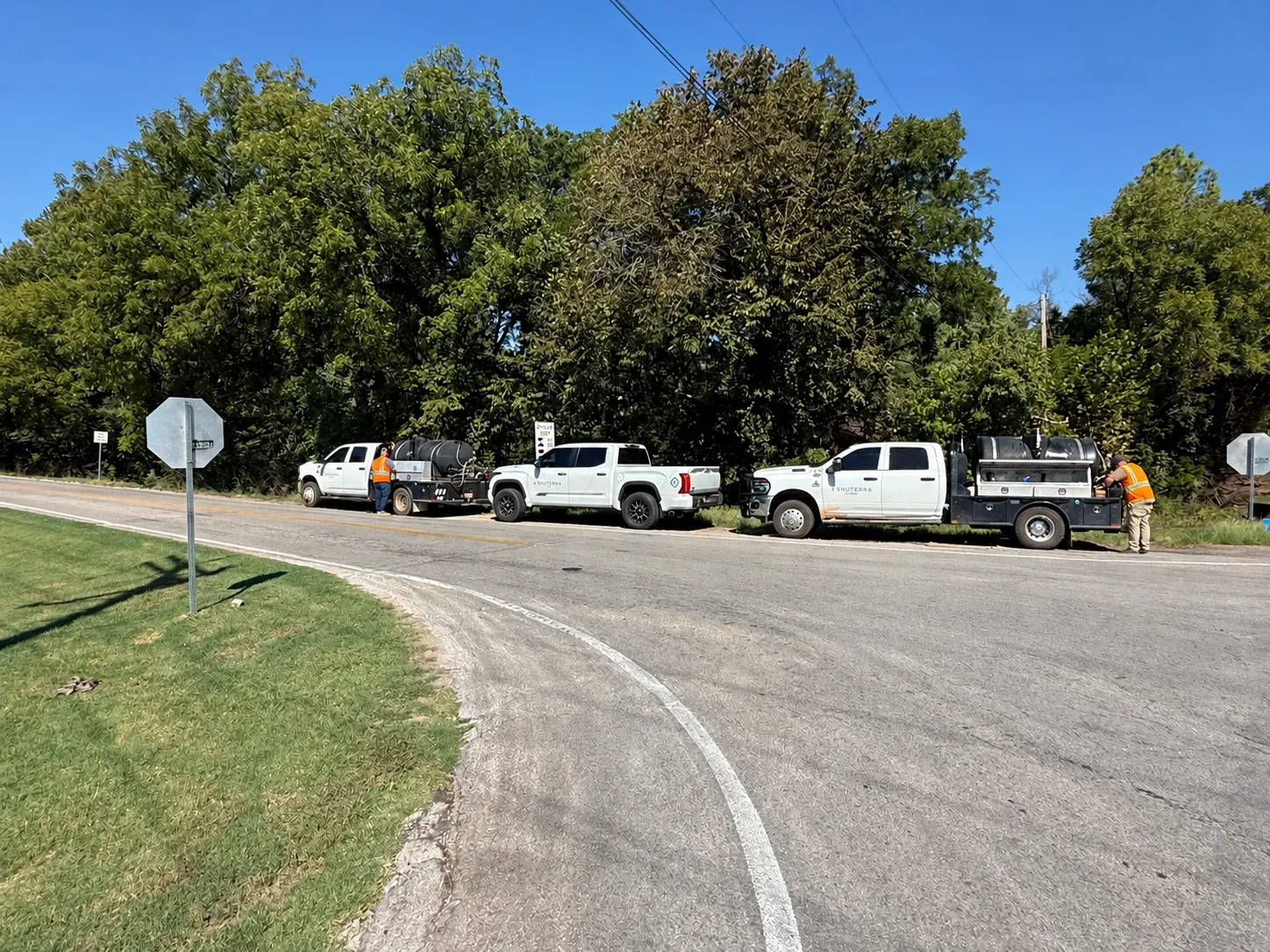
Review your roads and identify priority areas with your district.
Coordinate the planned treatment with field conditions and your road work.
Provide a treatment map and report for your district’s records.
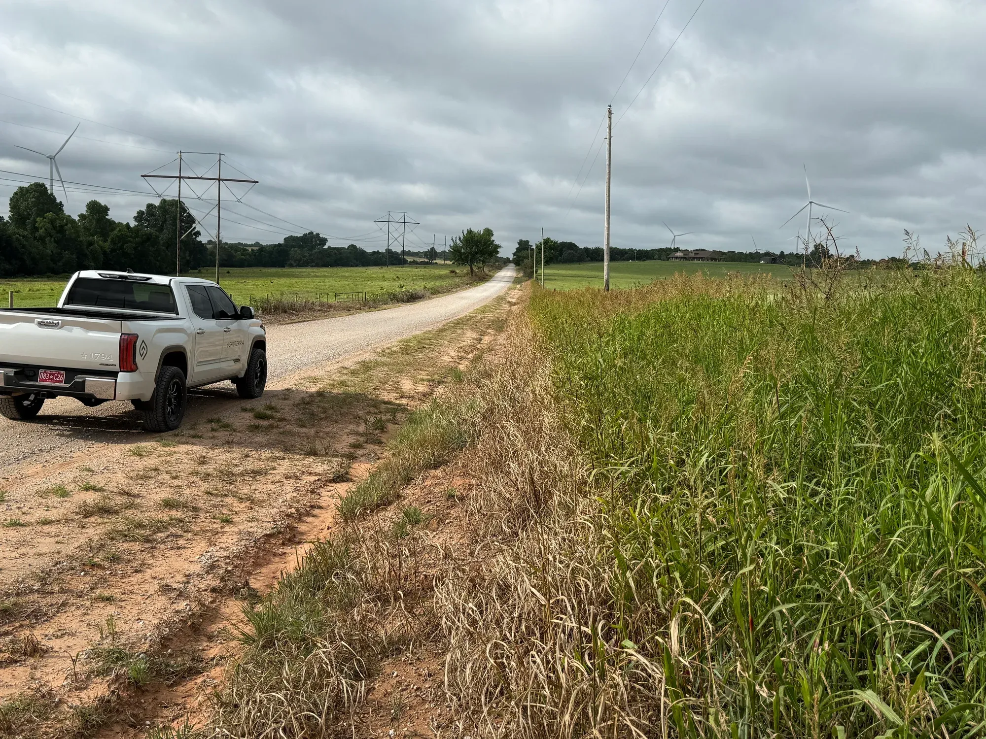
We review your roads with the commissioner or foreman, identify problem vegetation and discuss bridges, intersections and other priority areas. The program calendar accounts for mowing and road work.
GPS application records from the trucks show where and when product was applied. Your district receives a treatment map and report with notes from the work.
Ask to See a Sample Map & ReportApplication timing uses weather and soil temperature data from the Oklahoma Mesonet, alongside site conditions and the product label.
Trucks use flashing warning lights. Spray equipment is inspected daily and calibrated weekly. Drone work includes spotters.
Before an application, discuss nearby crops, gardens, homes and water with the crew. Treatment methods, application conditions and any required setbacks must follow the product label. Site conditions may require a change to the planned treatment or timing.
Request current license, insurance and certificate documents for your bid file.
Purchasing & Credentials